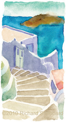
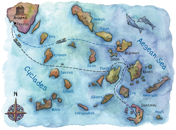
 After many hours at sea, with two quick stops along the way, my excitement builds as Santorini comes into view. Passengers with cameras gather in anticipation on the port side of the ferry. We also ready our cameras and find a good spot along the railing. At first, Santorini looks like many other shallow islands we’ve seen pushing up from the sea. But when we get closer, I see a mountain looming large on the far side. Where the land meets the sea, sharp cliffs rise up a thousand feet into the blue sky. This is the caldera, where the central part of the volcano broke off and collapsed into the Aegean. Striations of colored rock, stone, sediment, and lava make the island a lopsided layer cake. As we ferry closer, the white city of Oia covers the top like frosting. The city contains no storied buildings and gathers close to the earth to avoid slipping off the caldera.
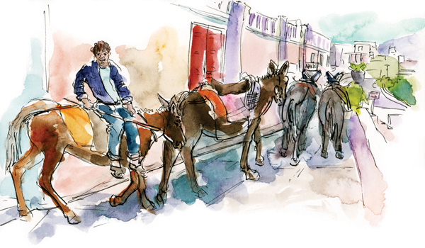
As we sail into the center of the five volcanic islands that make up Santorini, the top of the caldera rises above us. Quarter-moon shaped Thera is the largest of the islands. The city of Fira comes into view and I’m amazed that it’s so high up. The famous switchback trail, which takes travelers by donkey to and from the port below, is visible snaking along the cliff.
I’m glad we’ve finally arrived. I feel as though I’ve been out at sea a week. The ferry spins around, as it did in Naxos, and backs into to the port. We dock at Athinios and stand on the aft deck watching the gangway lower. During the boat ride, we scoured our travel guides for lodging and chose four possibilities. Pension Petros is the most promising, but we’ll be satisfied just to have a roof over our heads tonight. We certainly don’t want a repeat of our problems upon our arrival in Athens.
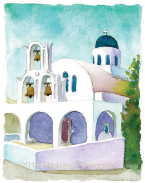
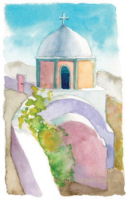
Our guidebooks say it’s possible to take the donkey caravan up the switchbacks to the top, but we don’t think much of that idea. Many proprietors are at the dock holding up handwritten signs for their hotels and pensions. We look for anything referencing Pension Petros, and finally see a middle-aged man holding up a sign for the place. He is, in fact, Mr. Petros himself. We get into his van, and he drives us up the switchbacks along the side of the caldera to Fira and Pension Petros. Along the way, I notice how Santorini, with its white buildings and blue-domed churches, differs from Attica.
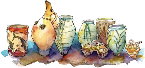 When the wind and rain kicked up on Santorini, my dad an I chose to hide inside the Archeological Museum. We were lucky to see more Akrotiri wall paintings along with ceramics and other painted artifacts. It’s amazing they are 3,600 years old. Most vessels have extraordinary design, rhythm, color, and look as though they could’ve been created today. Although, these were functional vessels back then, today they are beautiful works of art.